 Polski
 Cesky
Cesky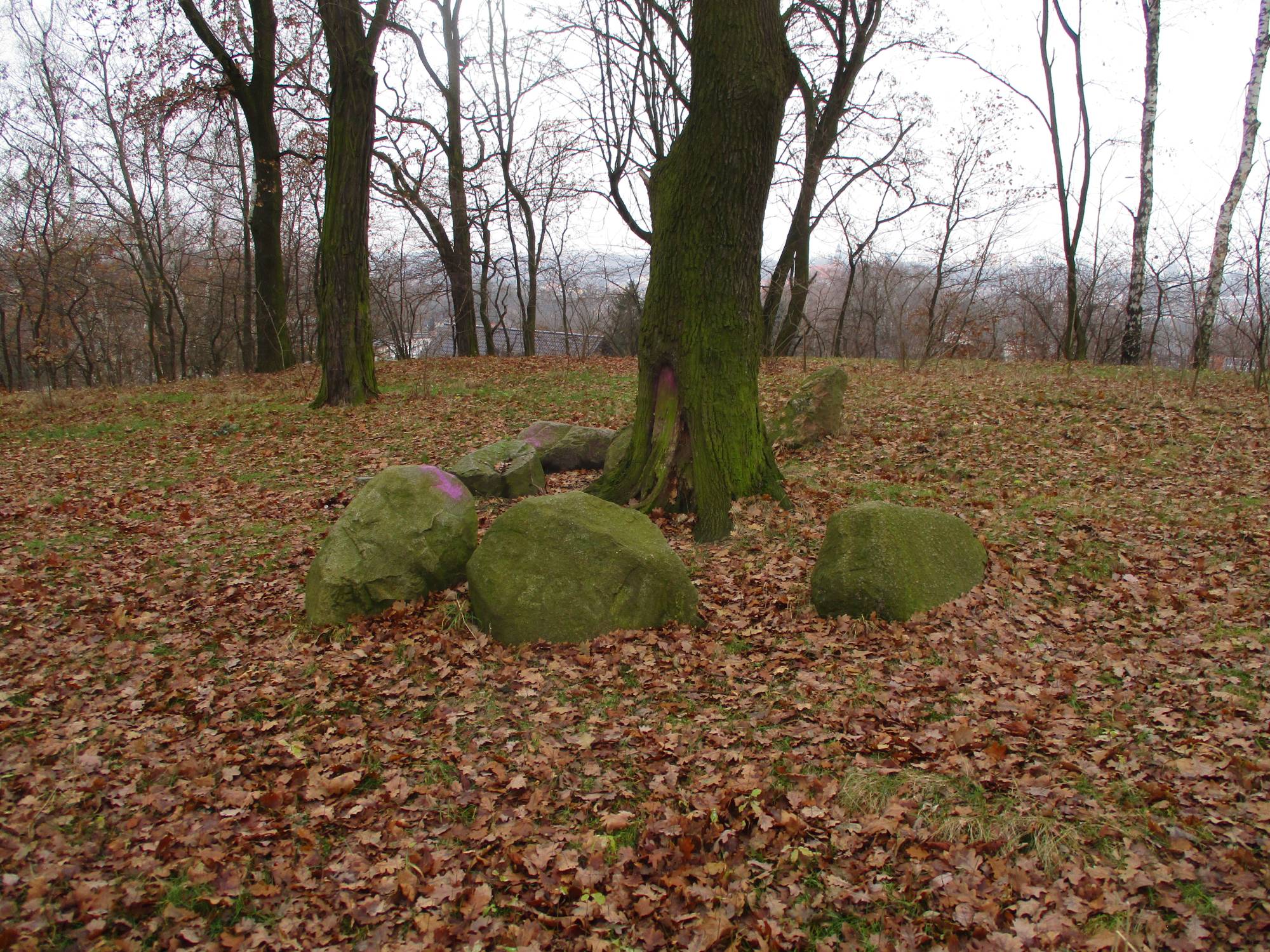
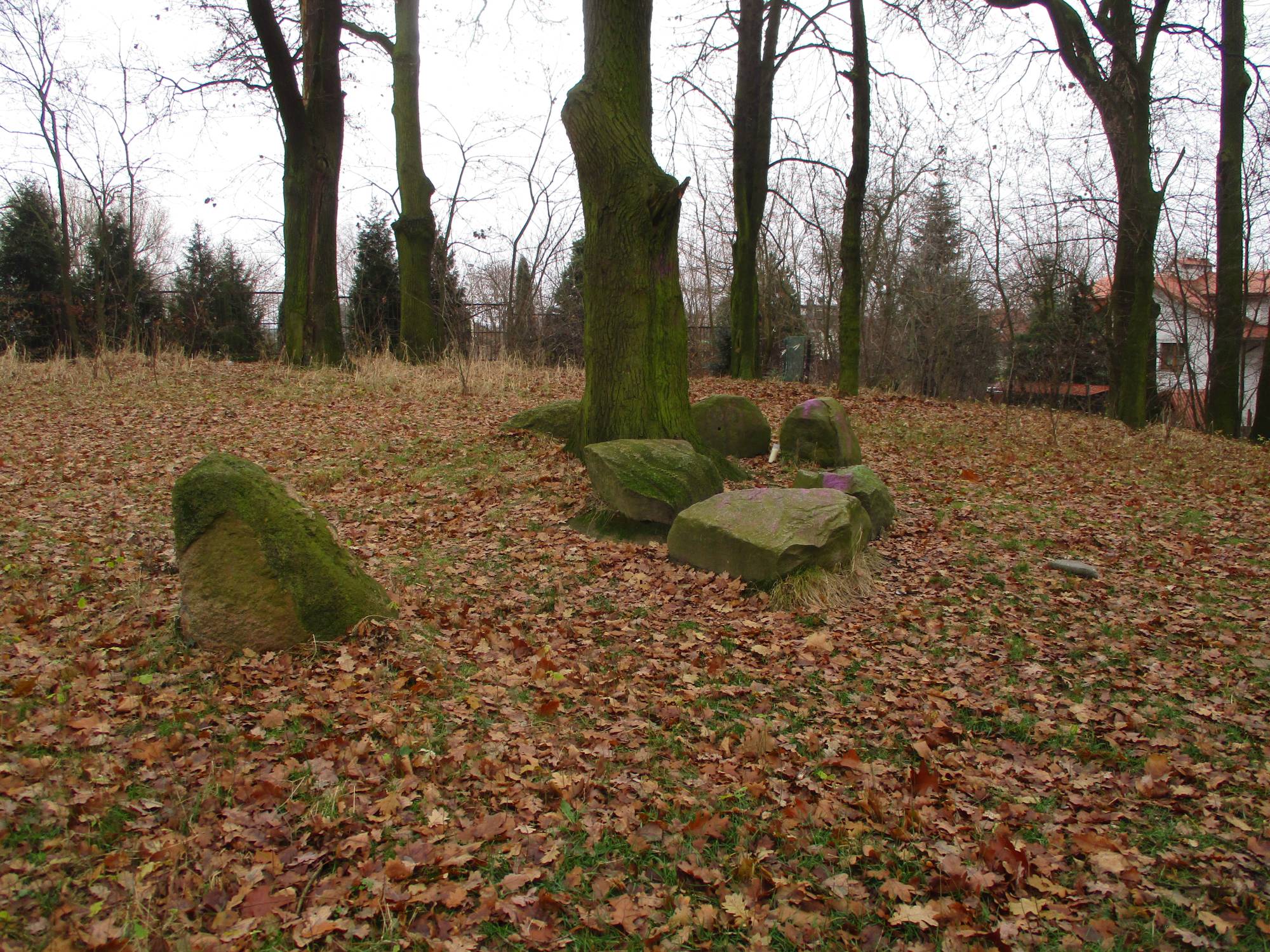
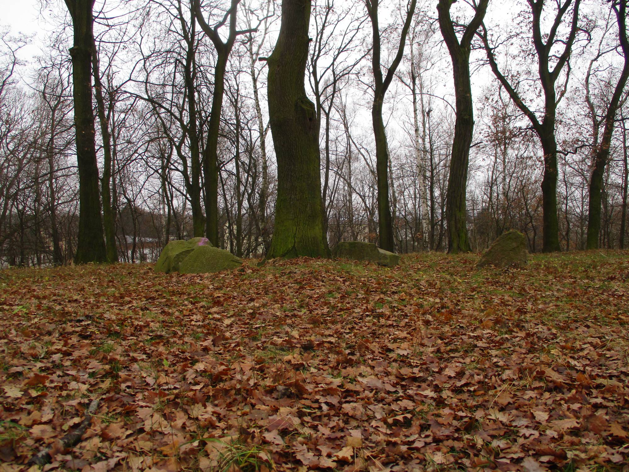
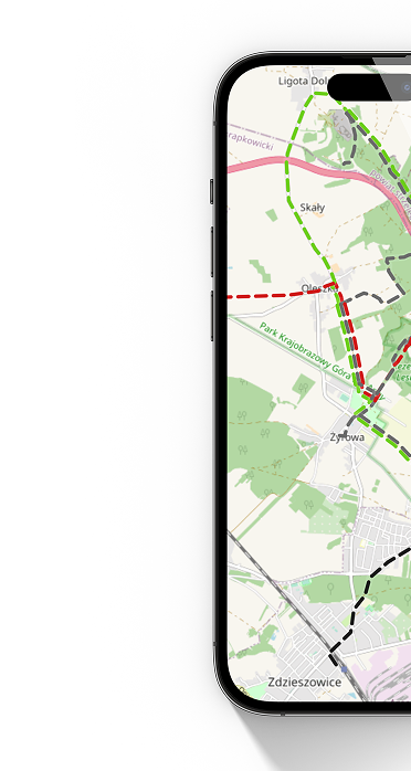
At a distance of about one kilometer from the city square, in the vicinity of the intersection of Mikołaja Kopernika, Władysława Syrokomli, and Górna streets, there is a hill traditionally called Galgenberg or Gallows Hill. Until the eighteenth century, it served as a public place of execution. The chronicle of Franz Henke from the middle of the nineteenth century contains information about the last execution carried out on Galgenberg Hill on February 20, 1748, by decapitation with a sword, impaling the head on a stake, and placing the body on a wheel, on the Wodzisław shoemaker Johann Opole. The condemned man brutally murdered a resident of Radlin Helena Antończyk, burned down her house, and previously committed numerous common thefts and attempted to murder his own brother Nikolai in order to seize his property. Documents about this murder and execution fortunately survived and are stored in the State Archives in Berlin (Geheimes Staatsarchiw Preussischer Kulturbesitz). This happened because the seriousness of Johann Opole's crime was such that the final judgment was confirmed by none other than the King of Prussia, Frederick II. After changes in law and a more humane approach to carrying out death sentences, the gallows and torture implements on the hill became unnecessary. Gallows Hill became a viewpoint and a destination for walks by city residents. This is evidenced by large boulders arranged in a circle and remnants of benches. During the fighting in March 1945, mortar positions were located on the hill. From this time, traces of trenches and connecting ditches have also been preserved.