 Polski
 Cesky
Cesky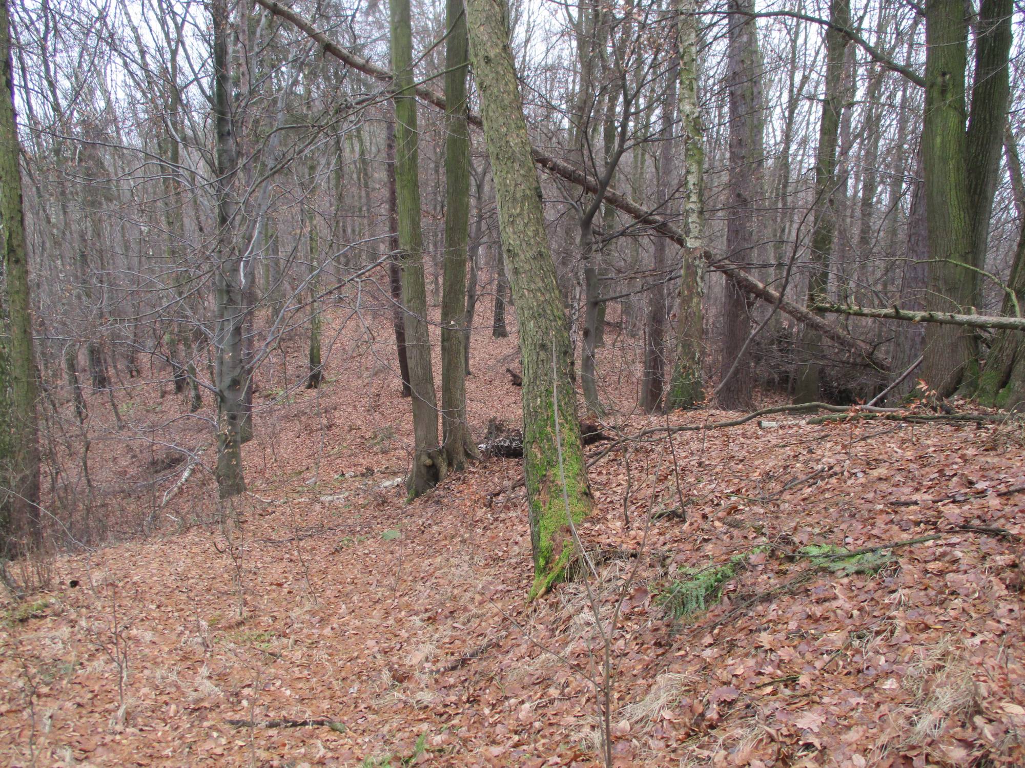
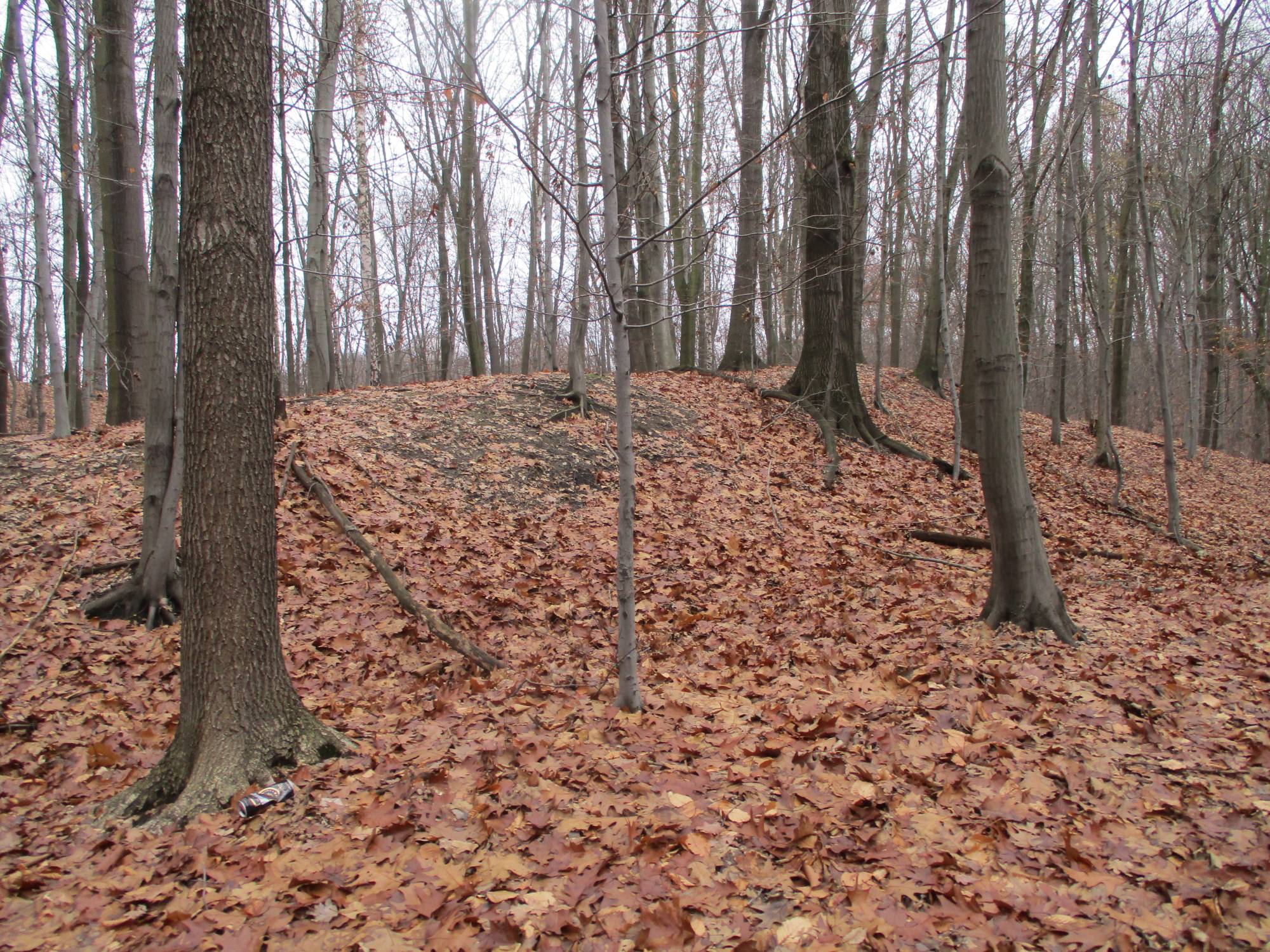
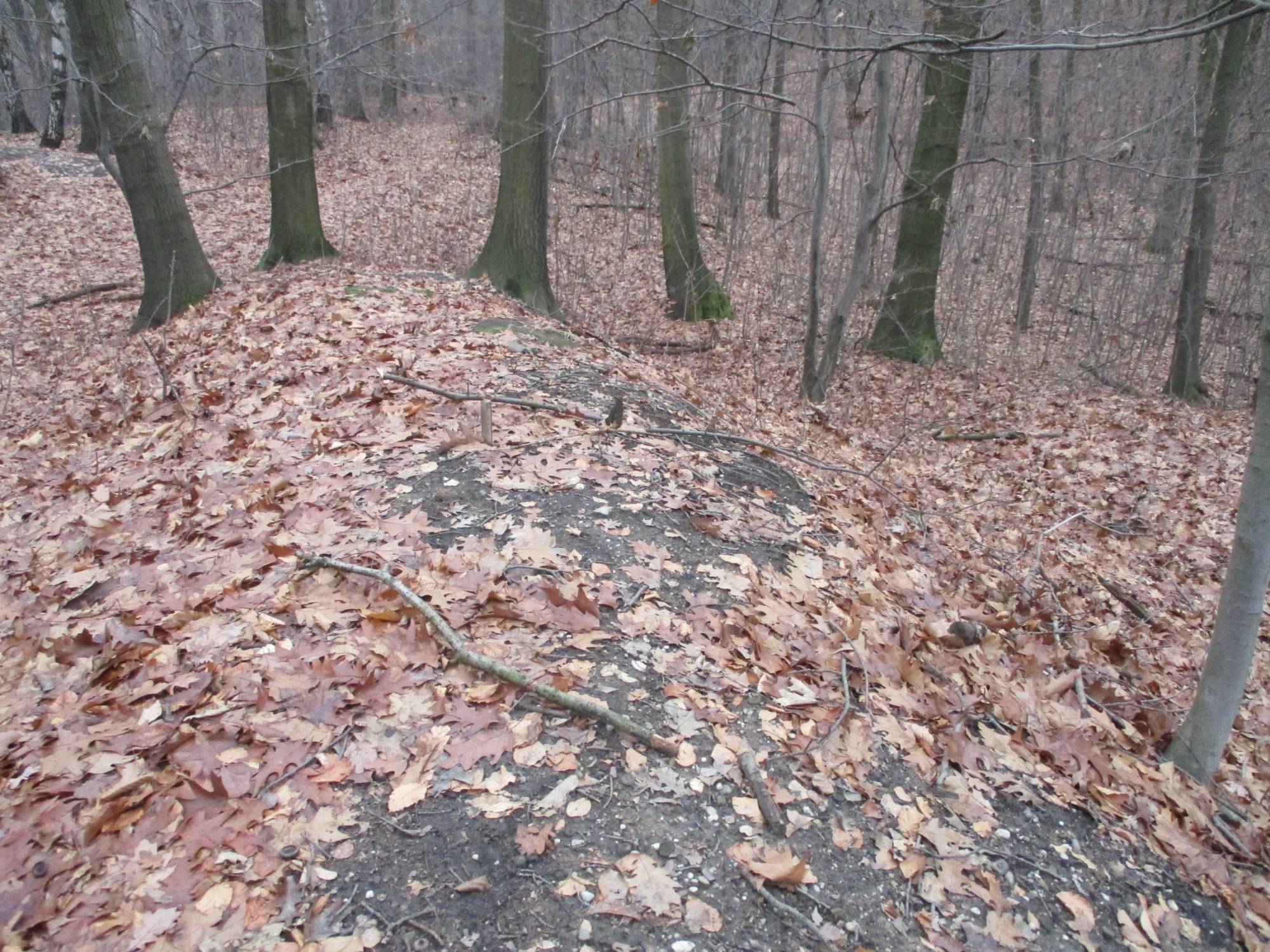
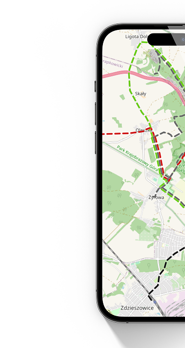
Grodzisko is a forest complex constituting the historical part of present-day Wodzisław Śląski. The history of the commonly used name Grodzisko has not yet been fully investigated and described. The place associated with it, that is, a forested elevation in the northern part of the city, hides many secrets. One of them is the connection of Grodzisko with the legend of the Tatars who, through the clever tactics of the residents of Radlin, were supposed to perish in the nearby marshes at the foot of the fortress. In 1879, two German scientists Rudolf Hirsch and Rudolf Stöckel identified the site of the pre-charter fortress -- they drew up a plan of the embankments and a historical description, determining its origin to the reign of Bolesław the Brave. Systematic archaeological excavations initiated in 2023 verified the old assumptions. It turned out that the history of this place is more complex than suggested by nineteenth-century research and chronicles. Modern research methods and radiocarbon dating confirmed that a small fortress existed here already in the ninth century and was built by Slavs. This discovery is significant because it confirms that settlement in the area of present-day Wodzisław Śl. precedes the founding of the city by at least 300 years. However, previous research has not provided an answer to how long the fortress functioned. No definitive traces of permanent settlement were found at this site in the late Middle Ages. There are also no archaeological traces of destruction attributed to the Tatar invasion of 1241. A multi-century gap in settlement suggests rather the abandonment of the fortress earlier than the Mongol invasion. Although many questions still remain unanswered, Grodzisko is already now an attraction for lovers of the earliest history of Wodzisław Śl.