 Polski
 Cesky
Cesky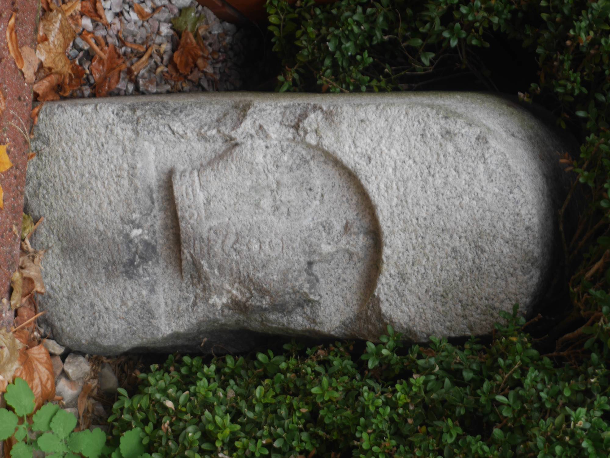
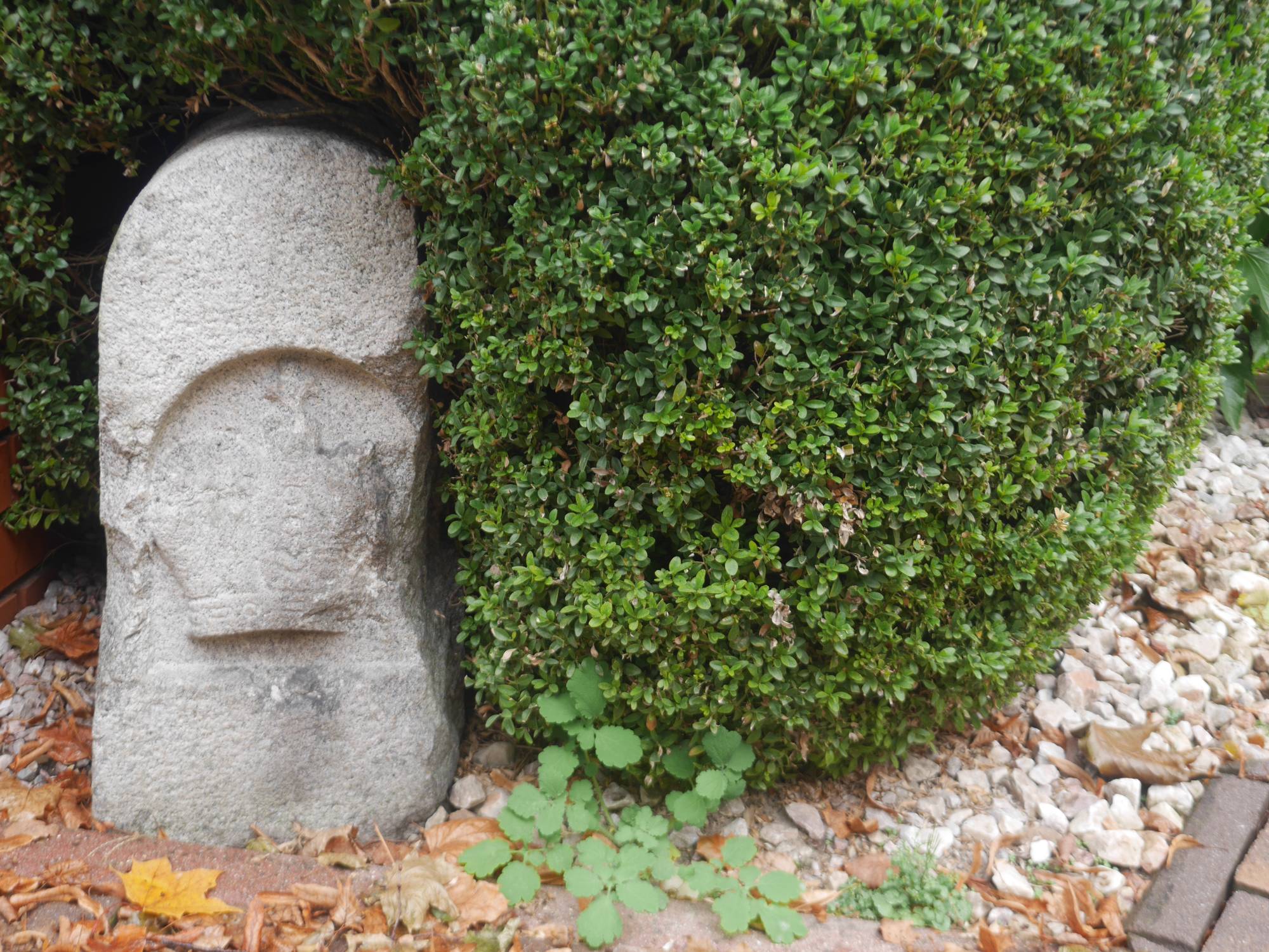
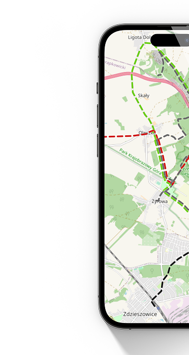
In the Jeleń district of Jaworzno, on Celników Street [Ulica Celników], stands a stone border post dating likely to 1795. It is one of the few surviving markers in the region of the old state border from the partition period. Following the Third Partition of Poland, these territories fell under Austrian rule and were incorporated into so-called West Galicia [Galicja Zachodnia]. The pillar, crafted from sandstone, served to mark the frontier between the Austrian Empire and the Kingdom of Prussia. On similar objects from this era, one can often find the letters "K.K." – an abbreviation for "Kaiserlich-Königlich" (Imperial-Royal). The street name, Celników (Customs Officers’ Street), owes its origin to the border guards and customs officials who once served here. A building of the Austrian customs office (today the State Fire Service) stood nearby. The border between Austria and Prussia ran along the Przemsza River. Directly on the other side of the river lies the building of the former Prussian customs office. Not far from here, at the confluence of the Black Przemsza [Czarna Przemsza] and White Przemsza [Biała Przemsza], lies the Triangle of the Three Emperors [Trójkąt Trzech Cesarzy]–the historic tripoint where the borders of the three partitioning powers once met. This pillar is a testament to the region's turbulent history, when state borders shifted and the area of present-day Jaworzno [Jaworzno] lay at the intersection of conflicting political influences. Today, it stands as a valuable historical relic.