 Polski
 Cesky
Cesky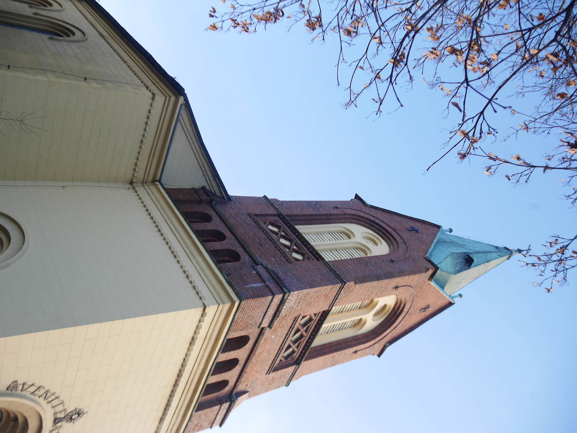
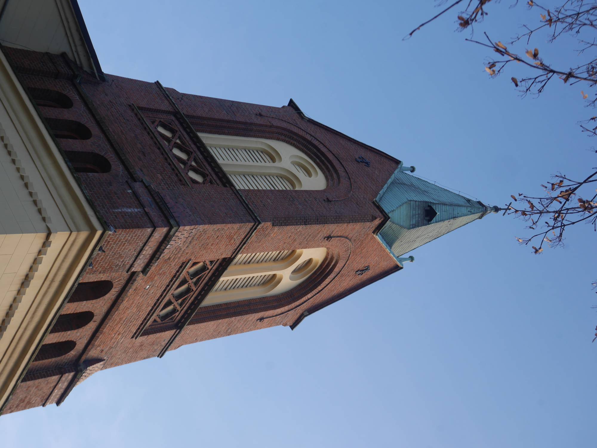
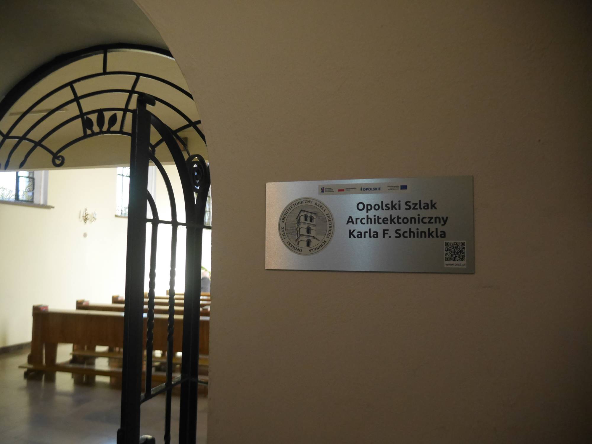
A former Protestant temple, erected in the years 1825-1826 on the initiative of the local evangelical community, was built despite enormous financial difficulties. The first plans for its construction were drafted by Christopher Worbs, and the final design was developed by Ernst Samuel Friebel. The construction was overseen by Karl Friedrich Schinkel himself, one of the most important architects of Prussian Classicism. The temple was built on wet terrain; formerly there were marshes, "bogs" (hence the name "church on the bogs"), and the land for construction was provided by the Catholic Count Andreas von Renard, which shows that despite religious differences there was real cooperation between Catholics and Protestants. Financial salvation for the investment came from the aid of the King of Prussia, who provided a significant sum of money. Initially, the church had no tower; one was added only in 1888 along with two bells, which caused controversy because their installation changed the silhouette of the well-known city panorama. Until 1945, the temple served the evangelical community, but after the war, when the Protestant parish became depopulated, the building passed into Catholic hands. In 1982, it was transferred to the parish of St. Lawrence, and in 1985, it was consecrated as a Catholic church. Today, the Strzelce Church of Corpus Christi is not only a historic sacred building, but also a symbol of tolerance and peaceful coexistence of Catholics and Protestants. The temple is located on the Opole Architectural Trail of Karl Friedrich Schinkel -- a German architect, painter, and interior designer of the Romantic era, combining late Classicism with new styles of Historicism. Karl Friedrich Schinkel (1781-1841) is one of the most outstanding creators of Classicism, known for his works throughout the former Kingdom of Prussia.